
The biggest tsunamis: from Lituya Bay to the 2004 Indian Ocean tsunami
The tallest tsunami ran about 524 metres up a hillside at Lituya Bay in 1958; the deadliest struck the Indian Ocean in 2004. How tsunamis form, and how India now warns its coasts.
Rohit Tandon · 6 October 2026 · 3 min read
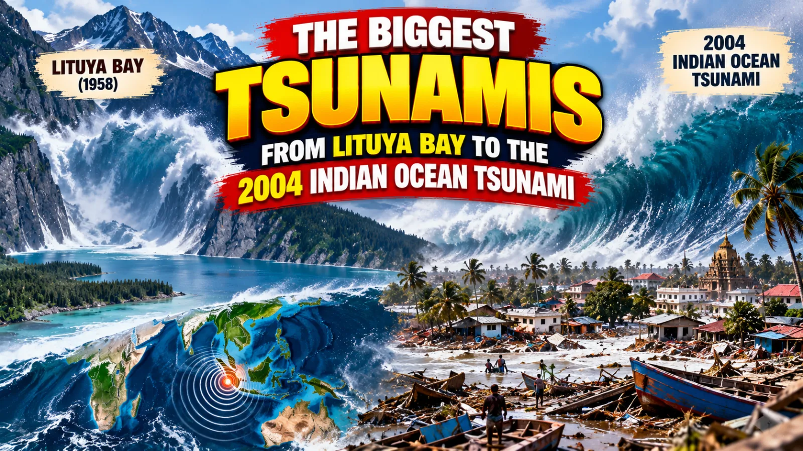
Which was the biggest tsunami in the world (दुनिया की सबसे बड़ी सुनामी)? It depends on what you measure. The tallest was the 1958 wave in Lituya Bay, Alaska, which ran about 524 metres up a hillside; the deadliest was the Indian Ocean tsunami of 26 December 2004, which killed about 2,27,898 people in 14 countries, India among them.
How does a tsunami form?
Ordinary waves are pushed by the wind and move only the top layer of the sea. A tsunami moves the whole depth of the water, from the surface to the sea floor. Most tsunamis start with an undersea earthquake, when one plate of the Earth's crust slips under another and the sea bed suddenly rises or drops.
Think of a stone thrown into a village pond: rings spread out in every direction from where it fell. When the sea floor rises a few metres over hundreds of kilometres, the same thing happens across an ocean. Landslides and volcanic eruptions can also start tsunamis, as our Geography articles on the forces that shape the Earth explain.
Why the wave grows near the coast
In the deep ocean a tsunami may be less than a metre high, yet it races along at about 800 km per hour, as fast as a passenger jet. Near the coast the water turns shallow, so the front of the wave slows down while the water behind keeps coming.
It is like cars reaching a toll plaza: the first ones brake and the rest bunch up behind them. The water piles up the same way into a wall many metres tall. Unlike a monsoon wave that crashes and pulls back in seconds, a tsunami can keep flooding inland for many minutes, like a river in flood.
Which was the tallest tsunami ever recorded?
On 9 July 1958 a strong earthquake shook Lituya Bay, a narrow inlet in Alaska, USA. It loosened about 3 crore cubic metres of rock, which crashed into the water from a great height. The splash raced across the bay and ran up the opposite slope to about 524 metres, stripping away the forest.
This height is called the run-up: how far above sea level the water reached on land, and it is the highest ever measured. The bay was almost empty and five people died, so Lituya Bay is the tallest tsunami on record but far from the deadliest.
Which was the deadliest tsunami in history?
On 26 December 2004 an undersea earthquake of about magnitude 9.1 struck off Sumatra in Indonesia. Within hours the tsunami reached Sri Lanka, India, Thailand, the Maldives and even East Africa. About 2,27,898 people died in 14 countries, the highest toll of any tsunami on record.
India's official count was 10,749 killed and 5,640 missing. Tamil Nadu was hit hardest, with more than 8,000 deaths, followed by the Andaman and Nicobar Islands, Kerala, Andhra Pradesh and Puducherry. People on the beaches that Sunday morning had no warning, because India had no tsunami warning system then.
The table compares some well-known tsunamis. The figures are common estimates and vary a little between sources.
| Year and place | Cause | Highest water | Lives lost |
|---|---|---|---|
| 1883, Krakatoa (Indonesia) | Volcanic eruption | About 30–40 m | About 36,000 |
| 1958, Lituya Bay (Alaska) | Rockfall after an earthquake | About 524 m run-up | 5 |
| 2004, Indian Ocean | Magnitude 9.1 earthquake | Over 30 m in Aceh | About 2,27,898 |
| 2011, Tohoku (Japan) | Magnitude 9.0–9.1 earthquake | About 40 m at Miyako | About 20,000 dead or missing |
Did you know? In August 2020, Noliasahi and Venkatraipur in Odisha became the first communities in the Indian Ocean region recognised as "Tsunami Ready" by UNESCO's Intergovernmental Oceanographic Commission. Their people practise evacuation drills regularly.
How does India warn people about a tsunami today?
After 2004, India set up the Indian Tsunami Early Warning Centre at INCOIS in Hyderabad, working since 2007. It tracks undersea earthquakes and reads ocean sensors and coastal tide gauges. It can send an alert within minutes, also for other Indian Ocean countries.
The threat to India comes mainly from the Andaman–Sumatra region in the east and the Makran coast of the Arabian Sea in the west. Odisha's coast, home to Puri and the Konark Sun Temple, faces both cyclones and tsunamis, so its villages train for both. Our guide to the five oceans of the world shows how the Indian Ocean compares with the rest.
What should you do if a tsunami may be coming?
If you are near the sea and feel a strong earthquake, do not wait for an announcement; go to high ground at once. If the sea suddenly pulls far back and the sea bed shows, the wave may be minutes away. In 2004 many people walked out to pick up stranded fish and were caught by the wave that followed.
Stay on high ground for hours, because later waves can be bigger than the first. Treat it like a cyclone warning on the Odisha coast: leave early with your family and return only when officials say it is safe. The United Nations marks World Tsunami Awareness Day every year on 5 November.
Key points
- Tallest: Lituya Bay, Alaska, 1958, with a run-up of about 524 metres.
- Deadliest: the Indian Ocean tsunami of 26 December 2004, about 2,27,898 deaths in 14 countries.
- Most tsunamis start with undersea earthquakes; landslides and volcanoes can also cause them.
- In deep water a tsunami travels at about 800 km per hour; near the coast it slows and grows tall.
- India's warning centre at INCOIS, Hyderabad, has worked since 2007.
Frequently asked questions
Which is the biggest tsunami ever?
By height, the 1958 Lituya Bay tsunami in Alaska, which ran about 524 metres up a hillside. By lives lost, the 2004 Indian Ocean tsunami.
How is a tsunami different from an ordinary wave?
An ordinary wave is pushed by the wind and moves only the surface. A tsunami moves the whole depth of the sea and keeps flooding the land for many minutes, so it does far more damage.
Can a tsunami hit India again?
Yes, mainly from the Andaman–Sumatra region and the Makran coast. The difference now is that India has a warning system and trained coastal villages.
Sources: Indian National Centre for Ocean Information Services (INCOIS) and National Disaster Management Authority (NDMA).
Sources
Found this useful? Share it.